On the eastern flank of Panama City, between the Corredor Sur tollway and the Pacific shoreline, sits a single privately masterplanned district that, by most measures, has no analogue in the country. Costa del Este covers 310 hectares and was presented to the public in 1995. Three decades on, it is both the flagship case for vertical living in Panama and a stress test of what private masterplans can and cannot do for a metropolitan area.
For foreign buyers and investors trying to read the city, this matters. Costa del Este is the district most often shown to international clients as a synonym for modern Panama. It is also the district whose form least resembles any other neighborhood the city has produced before or since.
Origins: three land types, one masterplan
The site is unusual in itself. Part of Costa del Este sits on what was, decades earlier, the Panama City municipal landfill — ground stabilised with material excavated during construction of the Panama Canal. Other parcels were former mangrove wetlands. A smaller portion was virgin jungle. Each required different engineering before any structure could go vertical, and the project's promoters spent the first years of the 1990s preparing the platform that the masterplan would later sit on.
What was announced in 1995 was not a single development but a planning grid: eleven distinct subdivisions covering high- and low-density residential, commercial parks, office parks and mixed-use. The unit of decision-making was the district, not the lot, and that distinction is the single most important thing to understand about how Costa del Este looks today.
Hard infrastructure choices that the rest of the city did not make
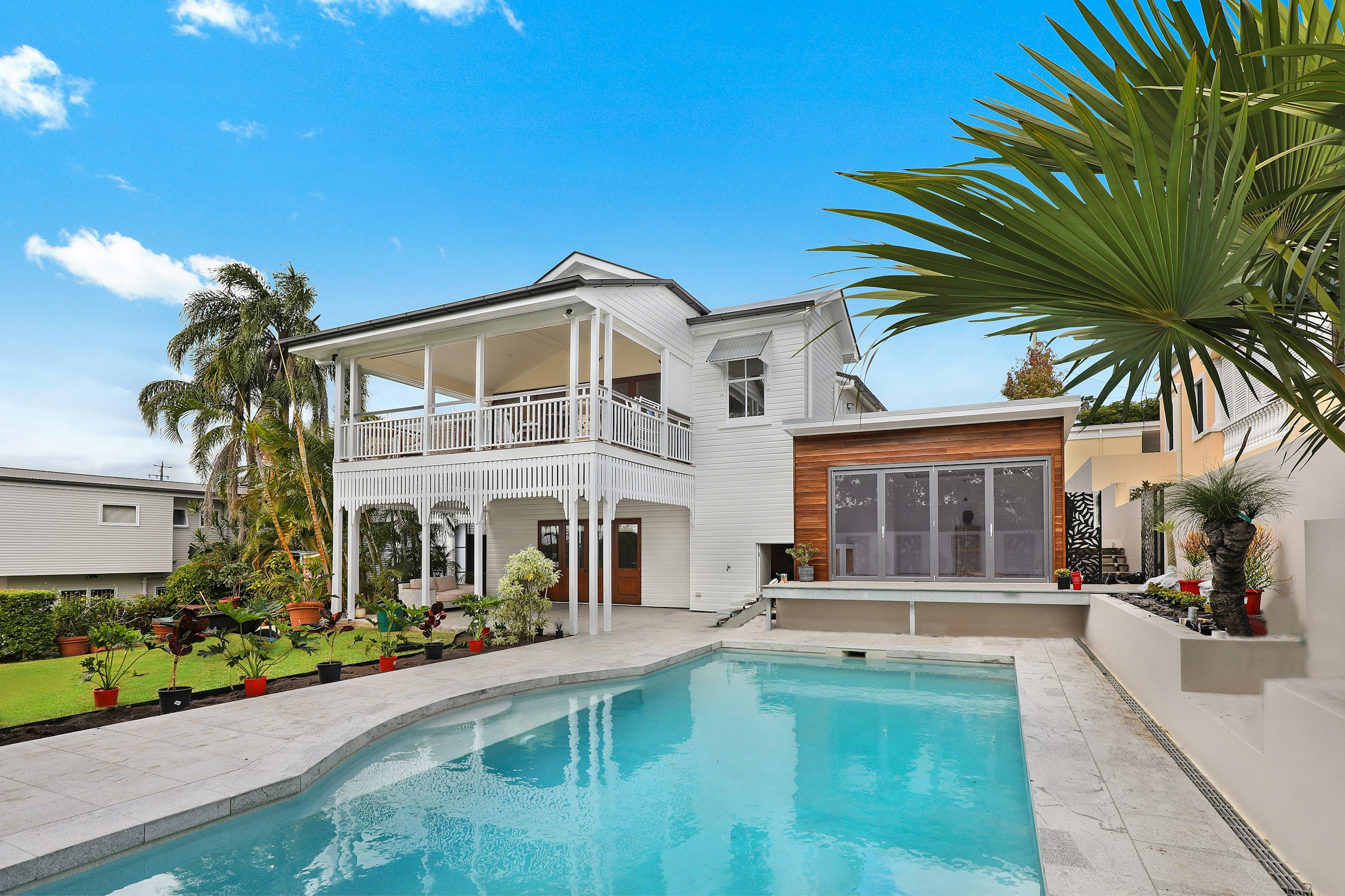
Three planning decisions, taken at the outset, still define the district's experience. Utility wiring runs underground rather than overhead, which is the default in every other neighborhood the city has built — including those that came later and are nominally premium. Residential blocks were organised as gated subdivisions with restricted internal access. And wastewater is processed by an independent treatment system tied to the district rather than to municipal infrastructure that, in much of metropolitan Panama, remains undersized.
None of these choices is exotic in global terms. All three are unusual inside Panama City. They explain why the district reads, visually and functionally, as a separate animal from Bella Vista, Vía España or even adjacent San Francisco, and why a Costa del Este apartment is rarely priced against those neighborhoods despite often being closer to similar amenities.
Connectivity has done most of the heavy lifting
The variable that has done the most to validate Costa del Este economically is not its architecture. It is its position relative to two pieces of infrastructure. The Corredor Sur tollway, completed in the late 1990s, connects the district to the historic city core via a roughly two-kilometre marine bridge, and to Tocumen International Airport eastbound in roughly the same time it takes to reach Casco Antiguo from a midtown apartment in normal traffic.
That second leg — the airport — quietly reorganised the district's economics. For multinational tenants choosing where to base regional staff who fly weekly, the Tocumen advantage compounds over a lease. It is also why the most visible corporate occupant of the district is the headquarters of an airline.
Who lives here, and what the indicators say
The population is concentrated at the upper end of the income distribution. Costa del Este reports the highest Human Development Index in the country, which is the kind of statistic that means less than it sounds — HDI is a country-level indicator stretched to fit a district — but does usefully signal what kind of household the place was built for. Schools, supermarkets and clinics within the district are priced and stocked accordingly.
Reliable district-level transaction data is scarce — ACOBIR publishes country-level aggregates rather than neighborhood breakdowns — so any claim about Costa del Este's price per square meter relative to Punta Pacífica or Santa María should be read with skepticism unless a specific dataset is named. What is observable is the inventory mix: a heavy tilt toward family-sized apartments above 150 square meters, a thinner pool of one-bedroom units, and a low share of short-stay rental inventory relative to Marbella or Casco Antiguo.
What the masterplan did not deliver
Three things, mostly.
First, walkability between subdivisions. The blocks were sized for cars and for gated boundaries. Internal sidewalks exist; useful pedestrian connectivity between residential clusters, retail and office is uneven and often interrupted by perimeter fencing. The district is comfortably walkable inside a subdivision and awkward across them.
Second, transit. Costa del Este is served by the Corredor Sur and by surface bus routes that vary in usefulness. The Panama Metro has not reached the district, and there is no fixed-date plan in current public documents to extend a line through it. For a foreign buyer expecting metro-fed pricing dynamics familiar from Mexico City or Santiago, that absence matters.
Third, architectural variety. The early 1990s masterplan envisaged height and density; what got built was largely contemporary mid- and high-rise residential of a similar visual register. The result is a district whose streetscape is legible at a glance but offers little of the textural variation a buyer gets in Casco Antiguo or Bella Vista. Whether this is a feature or a defect depends on the buyer.
What the experiment taught the rest of the city
Costa del Este is the district other Panamanian developers most often try to imitate. Stretches of Santa María, the newer towers of Punta Pacífica, and several projects in the Juan Díaz corridor borrow Costa del Este's gated-subdivision logic and its premium-amenity vocabulary. None has yet replicated the underground-utility standard, the dedicated wastewater system, or the integrated planning grid at scale.
That gap is informative. The barrier is not technology. It is that Costa del Este was assembled as a single private masterplan on consolidated land, executed by promoters with enough capital to absorb the cost of fill, drainage and utility tunnelling before any residential pre-sale could pay it back. The municipal planning code, then and now, does not require any of those decisions, and so a developer working a single lot in San Francisco or Carrasquilla has no economic reason to take them. The result is a city where the planned-district model exists, but only inside the boundaries of the district that was planned.
Costa del Este is what Panama City can do when it plans a district from scratch. The rest of the city is what it does when it does not.
Thirty years in: a working benchmark, not a template
For an international buyer reading this from outside Panama, the practical takeaway is narrower than the brochure pitch. Costa del Este delivers what its 1995 masterplan promised on infrastructure and on family-oriented residential supply. It does not deliver the urban density, walkability or transit access that a comparably premium district in Bogotá or Lisbon would. Whether that tradeoff fits depends on what the household is actually optimising for: airport access and predictable infrastructure, or street life and exposure to the rest of the city.
The harder question — the one Panama City has not yet answered — is whether the planned-district model is replicable on land that does not start as a 310-hectare consolidated parcel. So far, three decades of evidence say no. The next time it gets tried at scale will be the more interesting data point.